Spatial Navigation
About Spatial Navigation
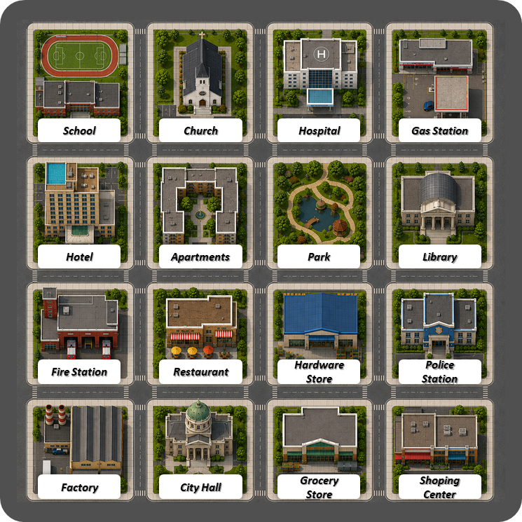
Spatial Navigation asks a person to use a fixed visual grid while following directional movements, relative turns, row-column intersections, color classes, and same-relation transformations. The task is designed to sample spatial updating without requiring physical construction.
The format keeps the map visible and shifts the difficulty into orientation, transformation, and precision. Easier items ask for direct neighbor relations. Later items require conditional movement, relative direction, and relation transfer across the grid.
What it measures
Spatial Navigation measures visual-spatial orientation, spatial scanning, imagined movement, relation preservation, and short sequences of mental updating. It is less dependent on manual speed than constructional tasks because the response is the name of a visible map location.
CHC domain
In CHC terms, this task is most closely related to visual processing (Gv), with meaningful contributions from spatial relations, visualization, orientation, and controlled spatial attention.
How to interpret performance
A strong score suggests efficient map-based orientation and accurate tracking of spatial transformations. A weaker score may reflect difficulty maintaining direction, applying relative turns, scanning rows and columns, or preserving spatial relations across steps.
Interpretation cautions
This public page describes the task family and construct. It does not disclose protected ACIS scoring rules beyond general task format. Serious interpretation should use the complete score profile, reliability evidence, age norms, and confidence intervals.
This public version keeps the background and interpretive context visible while the interactive task remains locked.
Quick FAQ
What does Spatial Navigation measure?
Spatial Navigation measures how accurately a person tracks position, direction, movement, and row-column relations on a fixed visual map. It emphasizes spatial updating and relation preservation more than motor construction.
Which CHC domain is Spatial Navigation related to?
In CHC terms, Spatial Navigation is most closely related to visual processing (Gv), especially spatial relations, visualization, spatial scanning, and orientation.
How should Spatial Navigation performance be interpreted?
A strong result suggests efficient orientation, imagined movement, spatial updating, and relation tracking. It should be interpreted alongside other ACIS visual-spatial tasks rather than as a standalone estimate of intelligence.
Instructions
- Answer each item using the fixed 4 by 4 grid.
- Type the destination exactly as it appears on the map, including the complete location name.
- Capitalization and extra spaces do not matter. A minor spelling typo is tolerated, but another location name is always marked incorrect.
- North is up, south is down, east is right, and west is left.
- Facing direction stays the same after moving unless a turn is explicitly stated.
- Front, behind, left, and right are based on the facing direction stated in the item.
- If an item says "if you were facing", use that temporary facing only for that clause.
- Same spatial relation means the same row-and-column change from one square to another.
- Orthogonally adjacent means directly north, south, east, or west of a square.
- The test stops after 3 consecutive incorrect answers.
- The subtest has a 20 minute global time limit.
Thank you for completing Spatial Navigation
Your results have been saved.
- Score:
- Time taken:
- Raw Score:
- Scaled Score: